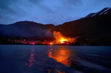
Chugach National Forest fire management staff will conduct prescribed burning across about 35 acres of forest lands near Moose Pass and Cooper Landing October 21st through the 31st.
Timothy Spencer with US Forest Service in Moose Pass, “Most of the Material that we’re dealing with is fairly cured, in some cases the material has been out there for a couple of seasons. Most of these piles that we are lighting, are hand piles constructed by folks out working in the woods with chainsaws. A few of the larger piles are constructed by logging machinery. And how well the piles are constructed really tends to drive how much effort we have to put in.”
According to Spencer, a year and a half worth of effort and planning has gone into the prescribed burn.
“We had folks from within the Forest Service, our fire and fuels crews, we’ve also had help from the State of Alaska, DNR sent Granite Glacier hand crews down to help us out earlier this spring out at Russian River. And our cooperators with Chugachmiut Organization, over in the Kenai / Soldotna area as well, sent their Yukon Crew, fire crew folks. Sort of in the off season that’s kind of our hobby is to do a little saw work and a little burning.”
The burning will help limit the potential spread of spruce bark beetle and reduce wildfire risks to communities and infrastructure adjacent to national forest and private lands. Crews will burn slash piles generated by hazard tree mitigation and various vegetation management projects.
Timothy Spencer, “We basically do a smaller type of foot print here on the Chugach. In that our cutting units aren’t sort of the broad landscape style control burns that you would see further north, up in the interior, up in the Mat-Su valley even. We tend to do a lot more of our units in small chunks and so it’s easier to sort of pile that material in a few locations, rather than try and spread it out over the whole landscape.”
Forest Service fire management personnel will closely monitor local environmental conditions and work with the National Weather Service to assess weather patterns most favorable to smoke dispersion, minimizing smoke impacts to firefighters, the public, residential areas, and highway corridors.
Some residual smoke could be present along both highway corridors in the late evenings and early mornings following prescribed burning activity. Motorists in those areas should exercise caution.
Smoke may be visible in the following areas:
- Seward Highway – near Devil’s Pass Trailhead (Mile 40)
- Seward Highway – near Carter Lake Trailhead (Mile 35)
- Sterling Highway – near Quartz Creek (Mile 40)
- Sterling Highway – near Broadview Guard Station (Mile 46)
- Sterling Highway – near Russian River Campground (Mile 53)
For more information, please contact the Seward Ranger District at 907-288-3178.