 The National Weather Service is warning the central peninsula about high winds and icy roads Monday afternoon and evening, extending into Tuesday morning.
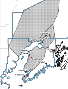
According to an NWS alert sent out early Monday morning, colder air will move up Cook Inlet and the Western Kenai Peninsula to Anchorage and the Mat-Su, leading to a transition from rain to snow later in the day Monday.
The alert also calls for “wet snow accumulation for areas at sea level, with higher amounts in the mountains as well as over the northern to western Susitna Valley,” and cautions folks in those areas to expect a period of moderate snow with low visibilities as the snow moves through.
Temperatures will drop below freezing overnight, causing any water and slush on or alongside roadways to freeze up.
The NWS is also predicting “gusty southerly winds” to accompany the colder air. The strongest winds will be along Kachemak Bay and Cook Inlet on up into Anchorage, with gusts of 35 to 45 mph along Kachemak Bay and 25 to 35 for the remainder of the area.
Travel could be hazardous. Slow down and use caution while traveling.
For the latest road conditions call 5 1 1 or visit 511.alaska.gov.