


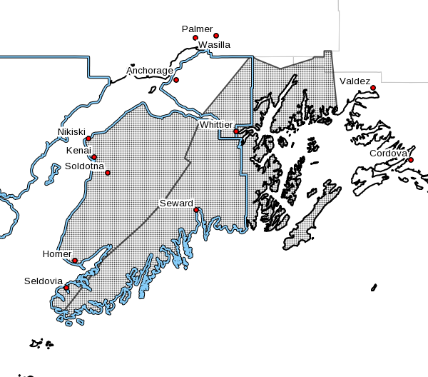

On Thursday, the National Weather Service issued two special weather statements for the Kenai Peninsula and Western Prince William Sound.
From Thursday afternoon through Friday morning, the cities of Kenai, Soldotna, Homer, and Cooper Landing can expect areas of snow and blowing snow along the Sterling Highway corridor from Anchor Point North to Nikiski.
The cities of Whittier, Seward, and Moose Pass can also expect snow and blowing snow in the areas of Turnagain Pass and Whittier from Thursday afternoon to Friday.
According to the NWS, snow and gusty northeasterly winds will develop along the Cook Inlet coast beginning Thursday afternoon. The combination of snow and winds gusting as high as 30 mph will result in areas of drifting and blowing snow, especially around Nikiski and along the Sterling Highway from Kenai south to Anchor Point.
Two to four inches of snow is possible, with the highest amounts near Anchor Point and Nikiski.
These locations also have the best potential for blowing snow, which can reduce visibility to nearly one-half mile at times.
NWS officials say there is still some uncertainty as to whether the band of steadier snow will set up along the coastline or farther west over Cook Inlet. If this band of snow does move farther west, snow amounts and the threat of blowing snow will be reduced. Light snow will continue through Friday; however, winds will diminish by early Friday morning.
In the second special statement, the NWS predicts snow and gusty easterly winds will develop for Whittier and Turnagain Pass beginning Thursday afternoon. The combination of snow and winds gusting up to 40 mph for Whittier and 30 mph for Turnagain Pass will result in areas of blowing and drifting snow.
Three to six inches of snow is possible through early Friday morning.
For Whittier, temperatures will climb quickly to near freezing. Warming temperatures may limit the extent of blowing snow. There is still some uncertainty as to how quickly temperatures will climb above freezing. Any delay in warming will allow for additional snow accumulations along with blowing and drifting snow. Snow is expected to mix with or change to rain after midnight.
For Turnagain Pass, temperatures are expected to stay at or below freezing, allowing for precipitation to fall as all snow. Light snow will continue through Friday; however, winds will diminish by early Friday morning.