The National Weather Service in Anchorage has issued a Winter Storm Watch in effect Sunday morning, December 11th, through Monday evening, December 12th, for much of Southcentral Alaska.
According to the the National Weather Service, significant snowfall is possible beginning Sunday morning and continuing through Monday evening. Total snowfall accumulations are predicted at up to 16 inches of snow across Southcentral and the Central Kenai Peninsula and the Western Kenai Peninsula could see up to 24 inches of snow. Winds could gust as high as 35 to 40 mph.
Travel could be very difficult during the storm. The hazardous conditions could impact the Monday morning commute.
Western Kenai Peninsula – Including the cities of Kenai, Soldotna, Homer, and Cooper Landing
Light snow will begin Sunday morning along Cook Inlet, moving inland through the day. The heaviest snow is expected from late Sunday night through Monday morning before diminishing from west to east into Monday evening. Highest snowfall totals are expected along Cook Inlet between Nikiski and Anchor Point. Gusty northeasterly winds will lead to blowing and drifting snow, making travel along the Sterling Hwy in these areas extremely difficult.
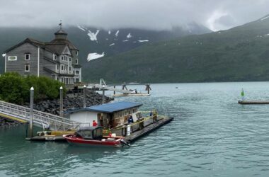
Western Prince William Sound – Including the cities of Whittier, Seward, Girdwood, and Moose Pass
Light snow will begin Saturday night and gradually become heavier through Sunday. Heavy snow will occur through Monday morning, before gradually diminishing. Higher snowfall totals are expected across Portage Valley and Turnagain Pass, with lower amounts closer to Seward. There is uncertainty with precipitation types, especially for locations along the coast where rain/snow mix may occur, which would result in lower snow totals. Gusty easterly winds will lead to blowing and drifting snow, making travel difficult along the Seward Hwy between Girdwood and Whittier and through Turnagain Pass.
Anchorage – Including the cities of Anchorage, Eagle River, Indian, and Eklutna
Light snow will begin Sunday afternoon across much of the Anchorage bowl. The heaviest snow is currently expected from late Sunday night through Monday morning before gradually diminishing Monday afternoon. Snowfall totals look to be slightly higher on the hillside.
Matanuska Valley – Including the cities of Palmer, Wasilla, Sutton, and Chickaloon
Light snow will begin Sunday afternoon across much of the Matanuska Valley. The heaviest snow is currently expected from late Sunday night through Monday morning before gradually diminishing Monday afternoon. Highest snowfall totals look to be generally north and east of Sutton and from Wasilla westward.