A National Weather Service winter storm warning is in effect for the Western Kenai Peninsula.
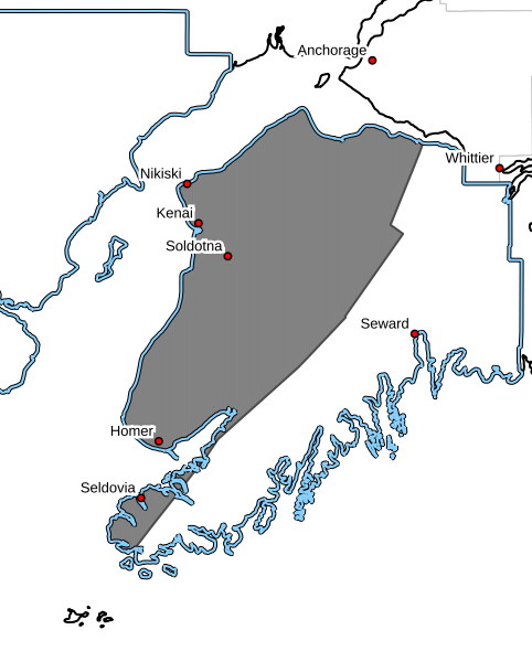 According to the NWS alert, communities along and near Cook Inlet, including Nikiski, Kenai, Soldotna, and down the Sterling Highway to Ninilchik can expect heavy snow accumulations totaling 6 to 12 inches from 10 a.m. Monday morning through 1 p.m. Tuesday.
The announcement says light snow will develop this morning and mix with or change to rain through the afternoon hours. Precipitation will intensify late this afternoon through this evening, leading to a transition back to all snow. The period of heaviest snow will be tonight through early Tuesday morning. Lighter snow amounts are expected inland and in the Homer area, where precipitation will fall as rain for a much longer period of time.
A Winter Storm Warning for snow means severe winter weather conditions will make travel very hazardous. If you must travel, keep an extra flashlight, food, and water in your vehicle in case of an emergency.
Those in the affected areas should plan for slippery road conditions and hazardous conditions impacting morning commutes.
For the latest road conditions, call 5-1-1 or visit 511.alaska.gov.
This story has been updated with current weather forecasting, and the weather advisory has been updated to a winter storm warning.
A National Weather Service winter weather advisory is in effect for the Western Prince Willam Sound.
 According to the NWS alert, communities along the Western Prince William Sound – Including the cities of Whittier, Seward, and Moose Pass. Interior Kenai Peninsula, along the Seward Highway corridor can expect snow and mixed precipitation. Total snow accumulations of 4 to 8 inches, except 8 to 13 inches for Summit Lake and Turnagain Pass areas.
The announcement says plan on slippery road conditions. Light snow will develop Monday morning, then mix with or change to rain this afternoon. Precipitation will become heavier late Monday afternoon through Monday evening, leading to a transition back to mostly snow overnight Monday through Tuesday morning, especially for higher elevations of the Seward Highway. Areas closer to the coast, including Seward and Whittier, will see mostly rain from this storm.
Those in the affected areas should slow down and use caution while traveling.
For the latest road conditions, call 5-1-1 or visit 511.alaska.gov.